
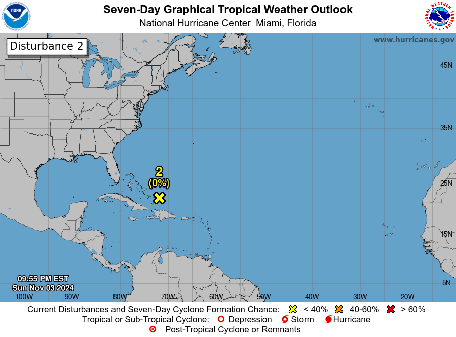
Invest 92L código amarillo con 30%/30%

Invest 92L código amarillo con 30%/30%
Saludos a todos nuevamente. Entramos en el mes de septiembre y luego de varias pinturas y con los modelos volviéndose locos con una solución diferente en cada corrida ya que no han podido ver con claridad que energía dominara en el centro del Atlantico hacia el sur oeste de Cabo Verde, pero por fin hay un low identificado como el Invest 92l. Veremos que sucederá con la evolución y trayectoria. del mismo.
Re: Invest 92ll codigo 🍊 con 30%/50%
ZCZC MIATWOAT ALL
TTAA00 KNHC DDHHMM CCA
Tropical Weather Outlook...Corrected
NWS National Hurricane Center Miami FL
800 PM EDT Sat Sep 7 2024
Corrected typo in the second disturbance paragraph.
For the North Atlantic...Caribbean Sea and the Gulf of Mexico:
Central Tropical Atlantic:
Shower and thunderstorm activity associated with an area of low
pressure over the central tropical Atlantic has begun to show signs
of organization. Gradual additional development is possible, and a
tropical depression could form while the system meanders over the
central tropical Atlantic through Monday and then moves generally
westward at about 10 mph through the rest of next week.
* Formation chance through 48 hours...low...30 percent.
* Formation chance through 7 days...medium...50 percent.
 ]
]


Re: Invest 92L código rojo con 60%/70%
2. Central Tropical Atlantic (AL92):
Showers and thunderstorms associated with an area of low pressure
over the central tropical Atlantic continue to show signs of
organization. Environmental conditions appear conducive for
additional development of this system over the next couple of days,
and a tropical depression is now likely to form during that time
while the system meanders over the central tropical Atlantic. By
the middle of this week the system should begin moving more westward
at around 10 mph through the rest of the week.
* Formation chance through 48 hours...medium...60 percent.
* Formation chance through 7 days...high...70 percent.
Re: Invest 92L código amarillo con 30%/30%
Tropical Weather Outlook Text EspañolTropical Weather Discussion
ZCZC MIATWOAT ALL
TTAA00 KNHC DDHHMM
Tropical Weather Outlook
NWS National Hurricane Center Miami FL
Issued by the NWS Weather Prediction Center College Park MD
200 PM EDT Tue Sep 10 2024
For the North Atlantic...Caribbean Sea and the Gulf of Mexico:
Active Systems:
The National Hurricane Center is issuing advisories on Tropical
Storm Francine, located in the western Gulf of Mexico offshore of
northeastern Mexico.
1. Central Tropical Atlantic (AL92):
An elongated area of low pressure located over the central tropical
Atlantic continues to produce some disorganized shower and
thunderstorm activity. Environmental conditions appear only
marginally conducive for some slight development during the next
couple of days, but a tropical depression could still form during
that time while the system moves westward at 5 to 10 mph over the
central tropical Atlantic.
* Formation chance through 48 hours...low...30 percent.
* Formation chance through 7 days...low...30 percent.