Page 1 of 2
Área de interés con código anaranjado 10%/40%
Posted: Mon Aug 26, 2024 9:49 pm
by Villafañe
Saludos a todos los foristas. Nos adentramos a fechas importantes en la temporada de huracanes 2024. Aquí estamos nuevamente ya que hubo una alerta en la ultima corrida de los modelos principales Europeo y GFS con posible desarrollo ciclónico y activaron al NHC con esta nueva area de interés que le asignan 0% de probabilidad de desarrollo en dos días y 20% en siete días. Ya otros modelos como el ICON y CMC habían visto desarrollo antes que los dos principales . Así que estaremos pendientes los próximos días.
Re: Área de interés con código amarillo 0%/20%
Posted: Mon Aug 26, 2024 9:51 pm
by Villafañe
Re: Área de interés con código amarillo 0%/20%
Posted: Mon Aug 26, 2024 10:18 pm
by Guarican
Aquí vamos de nuevo, al parecer esta tiene mejor terreno que Ernesto, no le despeguen el ojo, activo desde yâ.
Re: Área de interés con código amarillo 0%/20%
Posted: Tue Aug 27, 2024 6:27 am
by Joe Man
Buenos dias a todos
Lo mas que a mi preocupa es lo lento que va comparando esta Zona de mal tiempo contra Beryl y Ernesto....las dos mencionadas arriba venian a sobre 20 MPH de traslación...esta viaja entre 10 a 15 MPH...not good...tiene tiempo de mas para agarrar toda esa humedad por el camino...GFS al parecer no nos quiere mucho....el europeo en esta temporada ha sido mas confiable al menos en trayectorias.
Mi opinion!!!
Re: Área de interés con código amarillo 0%/20%
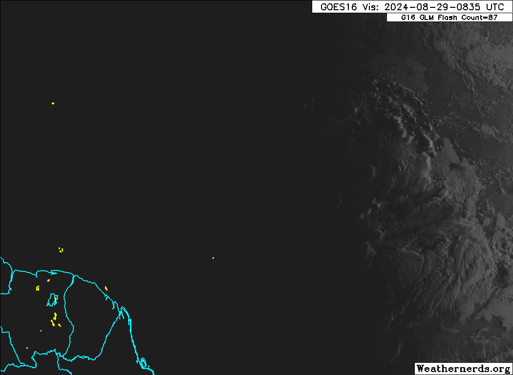
Posted: Thu Aug 29, 2024 8:35 am
by megadicto


veremos...OJO!
Re: Área de interés con código anaranjado 0%/40%
Posted: Thu Aug 29, 2024 10:36 am
by Villafañe
Tropical Weather Outlook Text EspañolTropical Weather Discussion
ZCZC MIATWOAT ALL
TTAA00 KNHC DDHHMM
Tropical Weather Outlook
NWS National Hurricane Center Miami FL
800 AM EDT Thu Aug 29 2024
For the North Atlantic...Caribbean Sea and the Gulf of Mexico:
1. Central Tropical Atlantic:
A tropical wave over the central Tropical Atlantic Ocean is
producing some disorganized showers and thunderstorms. Environmental
conditions appear conducive for gradual development of this system,
and a tropical depression could form by early next week while it
moves westward at 10 to 15 mph and approaches the Lesser Antilles.
The system is then forecast to move westward to west-northwestward
across portions of the eastern Caribbean Sea during the middle part
of next week.
* Formation chance through 48 hours...low...near 0 percent.
* Formation chance through 7 days...medium...40 percent.
Forecaster Reinhart
Re: Área de interés con código anaranjado 0%/40%
Posted: Thu Aug 29, 2024 10:47 am
by Villafañe
Saludos Guarikan, Joe Man y megadicto. Los modelos se activan nuevamente y a coro nos sugieren desarrollo ciclónico , NHC comienza a subir los % y tenemos código anaranjado. La realidad que ya estamos en fechas peligrosa para nuestra área y con un temporada neutral fría y con esas aguas de 30 grados cerca al este de la Antillas y el Caribe esta la gran posibilidad de una intensificación rápida . Así que es hora de vigilar de cerca esta área identificada . El Ascat paso por el área y reveló circulación. Veremos
Re: Área de interés con código anaranjado 0%/40%
Posted: Thu Aug 29, 2024 10:57 am
by Villafañe
Re: Área de interés con código anaranjado 0%/40%
Posted: Thu Aug 29, 2024 10:59 am
by Villafañe
Re: Área de interés con código anaranjado 10%/50%
Posted: Thu Aug 29, 2024 10:21 pm
by Villafañe
ZCZC MIATWOAT ALL
TTAA00 KNHC DDHHMM
Tropical Weather Outlook
NWS National Hurricane Center Miami FL
800 PM EDT Thu Aug 29 2024
For the North Atlantic...Caribbean Sea and the Gulf of Mexico:
1. Central Tropical Atlantic:
A tropical wave over the central Tropical Atlantic continues to
produce disorganized showers and thunderstorms that have become a
little more concentrated near its axis. Environmental conditions
appear conducive for gradual development of this system, and a
tropical depression could form by early next week while it moves
westward at 10 to 15 mph, approaching the Lesser Antilles. The
system is then forecast to continue moving westward to
west-northwestward across portions of the eastern and central
Caribbean Sea by the middle part of next week.
* Formation chance through 48 hours...low...10 percent.
* Formation chance through 7 days...medium...50 percent.