Page 5 of 8
Re: Invest 96L (Cerca de Cabo Verde)
Posted: Fri Jul 29, 2016 5:42 am
by StormWatch
TROPICAL WEATHER OUTLOOK
NWS NATIONAL HURRICANE CENTER MIAMI FL
200 AM EDT FRI JUL 29 2016
For the North Atlantic...Caribbean Sea and the Gulf of Mexico:
Shower activity associated with a tropical wave and a low pressure
system centered a couple of hundred miles south-southeast of the
Cabo Verde Islands has increased during the past several hours, but
the overall organization has changed little. This system has some
potential for development during the next day or two, before the
disturbance encounters a less favorable environment over the central
tropical Atlantic next week.
* Formation chance through 48 hours...low...30 percent
* Formation chance through 5 days...medium...40 percent
Forecaster Avila

Re: Invest 96L (Cerca de Cabo Verde)
Posted: Fri Jul 29, 2016 5:43 am
by StormWatch
Re: Invest 96L (Cerca de Cabo Verde)
Posted: Fri Jul 29, 2016 6:55 am
by StormWatch
Tropical Weather Discussion
NWS National Hurricane Center Miami FL
632 AM EDT FRI JUL 29 2016
A tropical wave is in the far east Tropical Atlantic with axis
that extends from 18N22.5W to a 1009 mb low near 11N22.5W. These
features are moving west at about 10 kt over the past 24 hours.
The wave coincides well with a low to mid level trough extending
northward through the Cabo Verde Islands. Scattered moderate to
isolated strong convection is evident within 90 nm of the center.
Despite increased convection, the earlier microwave imagery showed
the low level structure is still fairly weak at this time.
Re: Invest 96L (Cerca de Cabo Verde)
Posted: Fri Jul 29, 2016 6:59 am
by StormWatch
Re: Invest 96L (Cerca de Cabo Verde)
Posted: Fri Jul 29, 2016 7:13 am
by StormWatch
Coming SOONNNNNNNNNNNNNNNNNNNNNNNNNNNN!


DATE/TIME LAT LON CLASSIFICATION STORM
29/0545 UTC 12.0N 21.7W T 1.5/1.5 96L
29/0000 UTC 11.4N 20.7W T1.0/1.0 96L
28/1800 UTC 11.0N 20.6W T1.0/1.0 96L
28/1200 UTC 10.4N 19.9W T1.0/1.0 96L
Re: Invest 96L (Cerca de Cabo Verde)
Posted: Fri Jul 29, 2016 7:27 am
by StormWatch
Re: Invest 96L (Cerca de Cabo Verde)
Posted: Fri Jul 29, 2016 7:34 am
by StormWatch
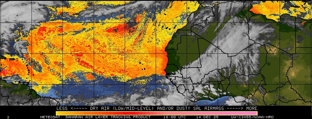
Perooooo con todo y SAL al Norte, luce bien compacta y mejor organizada q ayer!
TD hoy?

Re: Invest 96L (Cerca de Cabo Verde)
Posted: Fri Jul 29, 2016 7:53 am
by StormWatch
Poco a poco!
Subieron los números! 40%-50%

Shower activity associated with a tropical wave and a low pressure
system centered a couple of hundred miles south of the Cabo Verde
Islands has become better organized since yesterday. Some
additional development is possible during the next day or two before
the disturbance encounters a less favorable environment over the
central tropical Atlantic next week.
* Formation chance through 48 hours...medium...40 percent
* Formation chance through 5 days...medium...50 percent
$$
Forecaster Beven
Re: Invest 96L (Cerca de Cabo Verde)
Posted: Fri Jul 29, 2016 8:03 am
by StormWatch
Re: Invest 96L (Cerca de Cabo Verde)
Posted: Fri Jul 29, 2016 8:38 am
by StormWatch
..SPECIAL FEATURES...
A tropical wave is in the far east Tropical Atlantic with axis
that extends from 18N22.5W to a 1009 mb low near 11N22.5W. These
features are moving west at about 10 kt over the past 24 hours.
The wave coincides well with a low to mid level trough extending
northward through the Cabo Verde Islands. Scattered moderate to
isolated strong convection is evident within 90 nm of the center.
Despite increased convection, the earlier microwave imagery
showed the low level structure is still fairly weak at this time.
0 likes
