Mas cerca
000
WTNT41 KNHC 040233
TCDAT1
Hurricane Irma Discussion Number 19
NWS National Hurricane Center Miami FL AL112017
1100 PM AST Sun Sep 03 2017
Observations from a NOAA Hurricane Hunter aircraft indicated a 25 n
mi diameter eye and maximum SFMR-observed surface winds close to
100 kt. That value will be retained for the official intensity.
Central core convection is beginning to become a little better
organized on satellite imagery and the upper-level outflow is
well defined. Given the favorable environment, Irma is likely to
strengthen some more over the next day or two. The official
intensity forecast follows the model consensus.
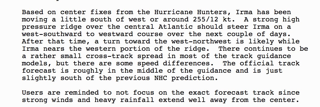
Based on center fixes from the Hurricane Hunters, Irma has been
moving a little south of west or around 255/12 kt. A strong high
pressure ridge over the central Atlantic should steer Irma on a
west-southward to westward course over the next couple of days.
After that time, a turn toward the west-northwest is likely while
Irma nears the western portion of the ridge. There continues to be
a rather small cross-track spread in most of the track guidance
models, but there are some speed differences. The official track
forecast is roughly in the middle of the guidance and is just
slightly south of the previous NHC prediction.
Users are reminded to not focus on the exact forecast track since
strong winds and heavy rainfall extend well away from the center.
KEY MESSAGES:
1. Irma is expected to affect the northeastern Leeward Islands by
the middle of this week as a major hurricane, accompanied by
dangerous wind, storm surge, and rainfall impacts, along with rough
surf and rip currents. Hurricane watches have been issued for
portions of the Leeward Islands and additional hurricane or tropical
storm watches or warnings may be required on Monday. Residents in
these areas should monitor the progress of Irma and listen to advice
given by officials.
2. Irma is expected to remain a dangerous major hurricane through
the upcoming week and could directly affect the British and U.S.
Virgin Islands, Puerto Rico, Hispaniola, the Turks and Caicos, and
the Bahamas. Residents in all of these areas should monitor the
progress of Irma and listen to advice given by officials. Tropical
storm or hurricane watches could be issued for the British and U.S.
Virgin Islands and Puerto Rico on Monday.
3. It is too early to determine what direct impacts Irma might have
on the continental United States. Regardless, everyone in
hurricane-prone areas should ensure that they have their hurricane
plan in place, as we are now near the peak of the season.
FORECAST POSITIONS AND MAX WINDS
INIT 04/0300Z 17.2N 51.0W 100 KT 115 MPH
12H 04/1200Z 16.7N 52.6W 105 KT 120 MPH
24H 05/0000Z 16.5N 54.8W 110 KT 125 MPH
36H 05/1200Z 16.8N 57.1W 115 KT 130 MPH
48H 06/0000Z 17.4N 59.6W 120 KT 140 MPH
72H 07/0000Z 19.3N 65.0W 120 KT 140 MPH
96H 08/0000Z 21.2N 70.2W 115 KT 130 MPH
120H 09/0000Z 22.8N 74.5W 115 KT 130 MPH
$$
Forecaster Pasch
Huracán Irma
Re: Huracan Irma - Categoría 3
72H 07/0000Z 19.3N 65.0W 120 KT 140 MPH
-
StormWatch
- Cat. 3

- Posts: 3755
- Joined: Thu Aug 06, 2015 11:39 am
- Location: Texas, USA
Re: Huracan Irma - Categoría 3
Cada hora mucho mejor....

Member Since 2005
For official information, please refer to NHC: https://www.nhc.noaa.gov
Hurricane’s hit Puerto Rico:
San Felipe 1928, San Ciprián 1932, Santa Clara 1956, Hugo 1989, Marilyn 1995, Hortense 1996, Georges 1998, Maria 2017, Fiona 2022
Model Runs:
GFS:
[5:30 AM/PM, 11:30 AM/PM]
HWRF, GFDL, UKMET, NAVGEM:
[6:30-8:00 AM/PM, 12:30-2:00 AM/PM]
ECMWF:
[1:45 AM/PM]

Re: Huracan Irma - Categoría 3
Estimado jose perez: en relacion a tu post hace 1 hora, yo envie tres Posts anoche a Alberto, Vick y Estimados amigos: Resumiendo ; puse que anoche se perfilaba que Irma, con fuerza deberia pasar cerca de la costa norteña, pero que deberian todos buscar los boletines y avisos del NWS, especialmente ahora que con 3 caza-huracanes, las infomacion que ellos sumunistran ser mucha mas precisa y fehaciente que puedan ofrecer de satelites. Recibi una contestacion del amigo Rafa Mojica, que habia una posibilidad que le diera directamente a Puerto Rico.el amigo Cycloneye me dijo que el habia recibido los tres, bajo Manuel Valverde. Muy recientemente, el ultimo pase del caza h. coloco a Irma, aun bajando, a 17.3 grados de latitud norte.
Re: Huracan Irma - Categoría 3
Lo que digo cuando la veo wsw dicen west hace un rato parecía wnw y dice el boletín wsw. Creo que ya he mirado mucho mapa y modelos. Seguimos pendi nets parece estar intensificándose y seguimos bajo esta amenaza.
Re: Huracan Irma - Categoría 3
19.3, 65.0. Eso es como 50 millas?
-
StormWatch
- Cat. 3
- Posts: 3755
- Joined: Thu Aug 06, 2015 11:39 am
- Location: Texas, USA
Re: Huracan Irma - Categoría 3
Super interesante...
Vía Twitter CycloforumsPR
Huracán #Irma se mueve a 255 grados y la nueva trayectoria es ligeramente más al sur que la de las 5pm. Aquí la discusión al respecto.
Vía Twitter CycloforumsPR
Huracán #Irma se mueve a 255 grados y la nueva trayectoria es ligeramente más al sur que la de las 5pm. Aquí la discusión al respecto.
Member Since 2005
For official information, please refer to NHC: https://www.nhc.noaa.gov
Hurricane’s hit Puerto Rico:
San Felipe 1928, San Ciprián 1932, Santa Clara 1956, Hugo 1989, Marilyn 1995, Hortense 1996, Georges 1998, Maria 2017, Fiona 2022
Model Runs:
GFS:
[5:30 AM/PM, 11:30 AM/PM]
HWRF, GFDL, UKMET, NAVGEM:
[6:30-8:00 AM/PM, 12:30-2:00 AM/PM]
ECMWF:
[1:45 AM/PM]
For official information, please refer to NHC: https://www.nhc.noaa.gov
Hurricane’s hit Puerto Rico:
San Felipe 1928, San Ciprián 1932, Santa Clara 1956, Hugo 1989, Marilyn 1995, Hortense 1996, Georges 1998, Maria 2017, Fiona 2022
Model Runs:
GFS:
[5:30 AM/PM, 11:30 AM/PM]
HWRF, GFDL, UKMET, NAVGEM:
[6:30-8:00 AM/PM, 12:30-2:00 AM/PM]
ECMWF:
[1:45 AM/PM]
-
jose perez
- Onda Tropical

- Posts: 22
- Joined: Wed Aug 21, 2013 4:16 pm
Re: Huracan Irma - Categoría 3
Gracias Abito. Siempre es un placer y ina escuela leerle
Abito wrote: ↑Sun Sep 03, 2017 10:38 pm Estimado jose perez: en relacion a tu post hace 1 hora, yo envie tres Posts anoche a Alberto, Vick y Estimados amigos: Resumiendo ; puse que anoche se perfilaba que Irma, con fuerza deberia pasar cerca de la costa norteña, pero que deberian todos buscar los boletines y avisos del NWS, especialmente ahora que con 3 caza-huracanes, las infomacion que ellos sumunistran ser mucha mas precisa y fehaciente que puedan ofrecer de satelites. Recibi una contestacion del amigo Rafa Mojica, que habia una posibilidad que le diera directamente a Puerto Rico.el amigo Cycloneye me dijo que el habia recibido los tres, bajo Manuel Valverde. Muy recientemente, el ultimo pase del caza h. coloco a Irma, aun bajando, a 17.3 grados de latitud norte.