¡Bienvenidos a la nueva interface gráfica de CycloForums!

Tormenta Tropical Elsa

Aquí encontrarás todo lo relacionado al la meteorología en Puerto Rico y las condiciones del tiempo actuales, así como los huracanes que se desarrollen durante las temporadas ciclónicas, actualizados por expertos y aficionados a la meteorología de todo el pais! Este es tu foro! Leelo, escribe en el y disfrútalo! Cycloman.
User avatar
Georges1998
Onda Tropical
Onda Tropical
Posts: 13
Joined: Tue Aug 06, 2013 10:31 pm
Location: Caguas, PR
Contact:

Tormenta Tropical Elsa

Post by Georges1998 »

Saludos!

Tenemos el invest 97L.

AL, 97, 2021062912, , BEST, 0, 80N, 348W, 25, 1009, DB

Aunque se espera que pase al sur de PR. Siempre es bueno echarle un ojo. 8-)
Ed Barbosa ☈
Las proyecciones bajo Georges1998 no son oficiales de NHC o NWS
hurrizonepr
Depresión Tropical
Depresión Tropical
Posts: 451
Joined: Wed Sep 04, 2013 10:30 am

Re: Invest 97L en el Atlántico tropical.

Post by hurrizonepr »

Luce con muy buena rotación en el loop visible.
Villafañe
Moderator
Moderator
Posts: 2118
Joined: Tue Aug 06, 2013 11:36 pm

Re: Invest 97L en el Atlántico tropical.

Post by Villafañe »

Aquí me apunto también, este sistema parece hacernos ver que estamos en septiembre. Dios Mio!!!
StormWatch
Cat. 3
Cat. 3
Posts: 3721
Joined: Thu Aug 06, 2015 11:39 am
Location: Texas, USA

Re: Invest 97L en el Atlántico tropical.

Post by StormWatch »

Si este sistema pasa cerca de Puerto Rico, entonces tendremos una clara idea de cuán rápido llegue la luz. :mrgreen:

Por cierto, la pelota de SAL está bien al Norte del Invest 97L, debe ser un sistema fuerte mas adelante.

#Invest97L
Member Since 2005
For official information, please refer to NHC: https://www.nhc.noaa.gov

Hurricane’s hit Puerto Rico:
San Felipe 1928, San Ciprián 1932, Santa Clara 1956, Hugo 1989, Marilyn 1995, Hortense 1996, Georges 1998, Maria 2017, Fiona 2022

Model Runs:
GFS:
[5:30 AM/PM, 11:30 AM/PM]

HWRF, GFDL, UKMET, NAVGEM:
[6:30-8:00 AM/PM, 12:30-2:00 AM/PM]

ECMWF:
[1:45 AM/PM]
StormWatch
Cat. 3
Cat. 3
Posts: 3721
Joined: Thu Aug 06, 2015 11:39 am
Location: Texas, USA

Re: Invest 97L en el Atlántico tropical.

Post by StormWatch »

Imagen del Invest 97L

Image
Member Since 2005
For official information, please refer to NHC: https://www.nhc.noaa.gov

Hurricane’s hit Puerto Rico:
San Felipe 1928, San Ciprián 1932, Santa Clara 1956, Hugo 1989, Marilyn 1995, Hortense 1996, Georges 1998, Maria 2017, Fiona 2022

Model Runs:
GFS:
[5:30 AM/PM, 11:30 AM/PM]

HWRF, GFDL, UKMET, NAVGEM:
[6:30-8:00 AM/PM, 12:30-2:00 AM/PM]

ECMWF:
[1:45 AM/PM]
Villafañe
Moderator
Moderator
Posts: 2118
Joined: Tue Aug 06, 2013 11:36 pm

Re: Invest 97L en el Atlántico tropical.

Post by Villafañe »

StormWatch wrote: Tue Jun 29, 2021 4:03 pm Imagen del Invest 97L

Image
Saludos StormWatch, impresionante este sistema, me tiene pensando y solo es junio. No se ni que decir.
Villafañe
Moderator
Moderator
Posts: 2118
Joined: Tue Aug 06, 2013 11:36 pm

Re: Invest 97L en el Atlántico tropical.

Post by Villafañe »

Ya tiene dos vuelos por el momento asignado, por eso todo me tiene sorprendido.
000
NOUS42 KNHC 291609
REPRPD
WEATHER RECONNAISSANCE FLIGHTS
CARCAH, NATIONAL HURRICANE CENTER, MIAMI, FL.
1215 PM EDT TUE 29 JUNE 2021
SUBJECT: TROPICAL CYCLONE PLAN OF THE DAY (TCPOD)
VALID 30/1100Z TO 01/1100Z JULY 2021
TCPOD NUMBER.....21-029

I. ATLANTIC REQUIREMENTS
1. NEGATIVE RECONNAISSANCE REQUIREMENTS.
2. OUTLOOK FOR SUCCEEDING DAY:
A. POSSIBLE LOW-LEVEL INVEST MISSION NEAR 15.0N 68.0W FOR SYSTEM
PRESENTLY EAST OF THE LESSER ANTILLES FOR 01/1800Z.
B. POSSIBLE LOW-LEVEL INVEST MISSION NEAR 12.0N 56.5W FOR SYSTEM
PRESENTLY IN THE CENTRAL ATLANTIC FOR 02/1200Z.

$$
SEF

NNNN
StormWatch
Cat. 3
Cat. 3
Posts: 3721
Joined: Thu Aug 06, 2015 11:39 am
Location: Texas, USA

Re: Invest 97L en el Atlántico tropical.

Post by StormWatch »

Villafañe wrote: Tue Jun 29, 2021 4:06 pm
StormWatch wrote: Tue Jun 29, 2021 4:03 pm Imagen del Invest 97L

Image
Saludos StormWatch, impresionante este sistema, me tiene pensando y solo es junio. No se ni que decir.

Saludos Villafañe.
Otra imagen actual, y déjare el link de esa imagen para todos los que nos leen.

Stay tune! :mrgreen:

Image

Link:

https://realearth.ssec.wisc.edu/?center ... obalir-avn
Member Since 2005
For official information, please refer to NHC: https://www.nhc.noaa.gov

Hurricane’s hit Puerto Rico:
San Felipe 1928, San Ciprián 1932, Santa Clara 1956, Hugo 1989, Marilyn 1995, Hortense 1996, Georges 1998, Maria 2017, Fiona 2022

Model Runs:
GFS:
[5:30 AM/PM, 11:30 AM/PM]

HWRF, GFDL, UKMET, NAVGEM:
[6:30-8:00 AM/PM, 12:30-2:00 AM/PM]

ECMWF:
[1:45 AM/PM]
User avatar
Georges1998
Onda Tropical
Onda Tropical
Posts: 13
Joined: Tue Aug 06, 2013 10:31 pm
Location: Caguas, PR
Contact:

Re: Invest 97L en el Atlántico tropical.

Post by Georges1998 »

Este invest parece que tiene mas chance. Y seguimos en junio! :shock:
Ed Barbosa ☈
Las proyecciones bajo Georges1998 no son oficiales de NHC o NWS
User avatar
Georges1998
Onda Tropical
Onda Tropical
Posts: 13
Joined: Tue Aug 06, 2013 10:31 pm
Location: Caguas, PR
Contact:

Re: Invest 97L en el Atlántico tropical.

Post by Georges1998 »

Sube la probabilidad de desarrollo del invest 97L. 40% en 2 dias y 60% en 5 dias!

TWO 8pm

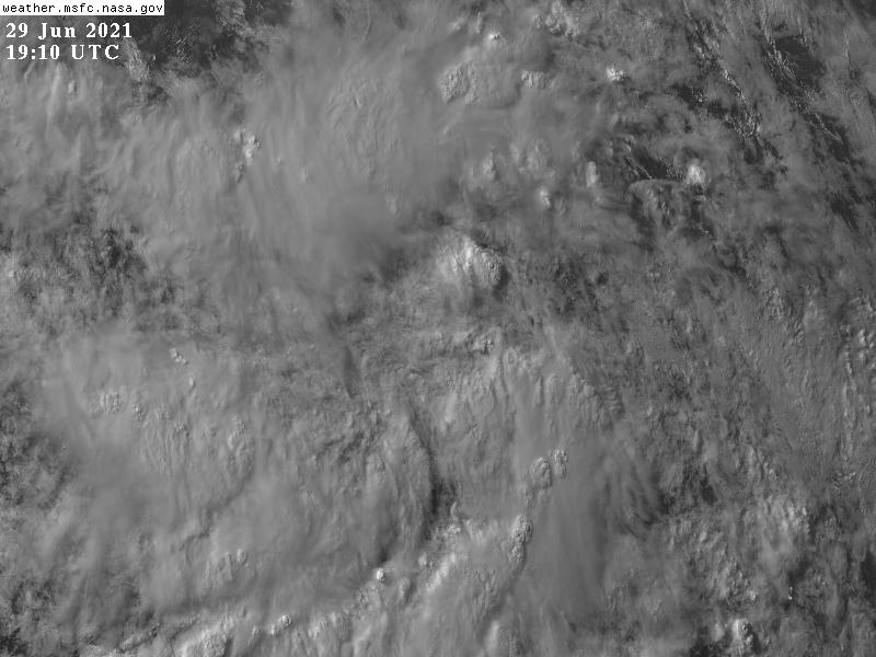
A broad area of low pressure, associated with a tropical wave, is
located about midway between the west coast of Africa and the
Windward Islands. This system is producing a large area of showers and thunderstorms that are starting to show some signs of organization. Environmental conditions appear generally favorable for development, and a tropical depression could form during the next few days while the system moves west-northwestward at about 20 mph. Interests in the Windward and Leeward Islands should closely monitor this system as it will likely be moving through that region on Friday.

* Formation chance through 48 hours...medium...40 percent.
* Formation chance through 5 days...medium...60 percent.
Ed Barbosa ☈
Las proyecciones bajo Georges1998 no son oficiales de NHC o NWS
Post Reply