¡Bienvenidos a la nueva interface gráfica de CycloForums!

96L Atlantico central (10%-20%)

Aquí encontrarás todo lo relacionado al la meteorología en Puerto Rico y las condiciones del tiempo actuales, así como los huracanes que se desarrollen durante las temporadas ciclónicas, actualizados por expertos y aficionados a la meteorología de todo el pais! Este es tu foro! Leelo, escribe en el y disfrútalo! Cycloman.
Post Reply
Arlequín
Cat. 1
Cat. 1
Posts: 1147
Joined: Thu Aug 08, 2013 6:43 am

96L Atlantico central (10%-20%)

Post by Arlequín »

Una vigorosa onda tropical estara transitando el atlantico central esta semana, aunque las condiciones no estan aptas para desarrollo ciclonico, sera interesante ver como evoluciona segun valla avanzando

Ninguno de los modelos muestran desarrollo ciclonico en ella pero aqui algunas graficas
CMC 120h
Image
GFS 138h
Image
Last edited by Arlequín on Sun Jun 28, 2020 9:10 am, edited 4 times in total.
Arlequín
Cat. 1
Cat. 1
Posts: 1147
Joined: Thu Aug 08, 2013 6:43 am

Re: Activa onda tropical saldra de Africa el miercoles

Post by Arlequín »

Ensembles del EURO muestran cierta actividad en el atlantico central
Image
Arlequín
Cat. 1
Cat. 1
Posts: 1147
Joined: Thu Aug 08, 2013 6:43 am

Re: Sistema de bajas presiones-Atlantico oriental

Post by Arlequín »

Conjunto del modelo EURO aun siguen mostrando un sistema debil cruzando el Atlantico
Image
Arlequín
Cat. 1
Cat. 1
Posts: 1147
Joined: Thu Aug 08, 2013 6:43 am

Re: Onda tropical-Atlantico oriental

Post by Arlequín »

Modelo EURO
Image
Arlequín
Cat. 1
Cat. 1
Posts: 1147
Joined: Thu Aug 08, 2013 6:43 am

Re: Onda tropical-Atlantico oriental

Post by Arlequín »

Aun sigue mostrando un desarrollo debil en el centro del Atlantico
Image
Arlequín
Cat. 1
Cat. 1
Posts: 1147
Joined: Thu Aug 08, 2013 6:43 am

Re: Onda tropical-Atlantico oriental

Post by Arlequín »

El conjunto del modelo EUROPEO cada vez mas estan mas alegres con esta onda tropical
Image
Arlequín
Cat. 1
Cat. 1
Posts: 1147
Joined: Thu Aug 08, 2013 6:43 am

Re: Onda tropical-Atlantico oriental

Post by Arlequín »

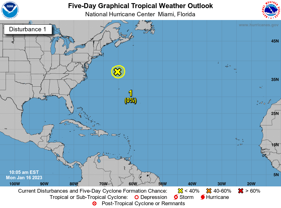
Sorpresivamente le colocan color amarillo a esta onda tropical

Tropical Weather Outlook
NWS National Hurricane Center Miami FL
800 AM EDT Sun Jun 28 2020

For the North Atlantic...Caribbean Sea and the Gulf of Mexico:

1. A tropical wave located several hundred miles west-southwest of the
Cabo Verde Islands is moving west-northwestward at 15 to 20 mph.
Some slow development of this system is possible during the next 2
to 3 days. After that time, environmental conditions become less
conducive for development.
* Formation chance through 48 hours...low...10 percent.
* Formation chance through 5 days...low...20 percent.
Image
Arlequín
Cat. 1
Cat. 1
Posts: 1147
Joined: Thu Aug 08, 2013 6:43 am

Re: 96L Atlantico central (10%-20%)

Post by Arlequín »

Nace el 96L
Image
Villafañe
Moderator
Moderator
Posts: 2118
Joined: Tue Aug 06, 2013 11:36 pm

Re: 96L Atlantico central (10%-20%)

Post by Villafañe »

Saludos Arlequín y todos los amigos del foro, Invest96l aunque los modelos no le ven mucho futuro, siempre hay que observar de cerca, ya entrando a Julio y tenemos que estar vigilantes.
Arlequín
Cat. 1
Cat. 1
Posts: 1147
Joined: Thu Aug 08, 2013 6:43 am

Re: 96L Atlantico central (10%-20%)

Post by Arlequín »

Villafañe wrote: Mon Jun 29, 2020 1:33 pm Saludos Arlequín y todos los amigos del foro, Invest96l aunque los modelos no le ven mucho futuro, siempre hay que observar de cerca, ya entrando a Julio y tenemos que estar vigilantes.
Sip... con suerte traera lluvias que almenos van a refrescar el ambiente que ha estado sumamente caluroso :lol:
Post Reply