
Tormenta Tropical Karen.

Tormenta Tropical Karen.
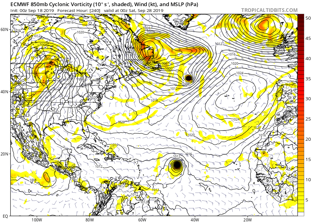
Algunos modelos tratan de desarrollar un sistema cerca del Caribe y lo mueven cerca de Puerto Rico el 25 de septiembre. Este posible sistema se encuentra ahora mismo cerca de la Longitud 32 y es diferente a la zona que saldrá el Jueves de África y el NHC le otorga un 20%. Por si acaso y para record... le abrimos este tópico.
Last edited by albertopr on Sun Sep 22, 2019 5:20 am, edited 4 times in total.

Re: Sistema en la 32, algunos modelos desarrollan
Ya estoy anotando por aquí por si se anima esta área.
-
StormWatch
- Cat. 3

- Posts: 3721
- Joined: Thu Aug 06, 2015 11:39 am
- Location: Texas, USA
Re: Sistema en la 32, algunos modelos desarrollan
Creo que el CMC lo vio en esta corrida a 160 horas cerca al Sur de Puerto Rico
Tal vez lo es o no?

Tal vez lo es o no?
Member Since 2005
For official information, please refer to NHC: https://www.nhc.noaa.gov
Hurricane’s hit Puerto Rico:
San Felipe 1928, San Ciprián 1932, Santa Clara 1956, Hugo 1989, Marilyn 1995, Hortense 1996, Georges 1998, Maria 2017, Fiona 2022
Model Runs:
GFS:
[5:30 AM/PM, 11:30 AM/PM]
HWRF, GFDL, UKMET, NAVGEM:
[6:30-8:00 AM/PM, 12:30-2:00 AM/PM]
ECMWF:
[1:45 AM/PM]
-
cicloncuba
- Invest

- Posts: 183
- Joined: Thu May 02, 2019 2:50 pm
Re: Sistema en la 32, algunos modelos desarrollan
Ojala y así sea para q la lluvia llegue a Cuba pues los ciclones han hecho un camino al NE de Puerto Rico y sobre bahamas. No kieren ir al Oeste.
-
cicloncuba
- Invest
- Posts: 183
- Joined: Thu May 02, 2019 2:50 pm
Re: Sistema en la 32, algunos modelos desarrollan
Publiquen imágenes y corridas de los modelos.
Re: Posible Baja presión al Sureste de las Antillas- 20%
El Centro Nacional de Huracanes acaba de pintar esta zona...le otorga un 20% a 5 días.
Tropical Weather Outlook NWS National Hurricane Center Miami FL 200 AM EDT Wed Sep 18 2019
An area of low pressure is expected to develop this weekend to the east of the Windward Islands. Some gradual development of this system is possible as it moves west to west-northwestward over the islands and across the eastern Caribbean. * Formation chance through 48 hours...low...near 0 percent. * Formation chance through 5 days...low...20 percent.
-
StormWatch
- Cat. 3
- Posts: 3721
- Joined: Thu Aug 06, 2015 11:39 am
- Location: Texas, USA
Re: Posible Baja presión al Sureste de las Antillas- 20%
Que clase aparato
Member Since 2005
For official information, please refer to NHC: https://www.nhc.noaa.gov
Hurricane’s hit Puerto Rico:
San Felipe 1928, San Ciprián 1932, Santa Clara 1956, Hugo 1989, Marilyn 1995, Hortense 1996, Georges 1998, Maria 2017, Fiona 2022
Model Runs:
GFS:
[5:30 AM/PM, 11:30 AM/PM]
HWRF, GFDL, UKMET, NAVGEM:
[6:30-8:00 AM/PM, 12:30-2:00 AM/PM]
ECMWF:
[1:45 AM/PM]
For official information, please refer to NHC: https://www.nhc.noaa.gov
Hurricane’s hit Puerto Rico:
San Felipe 1928, San Ciprián 1932, Santa Clara 1956, Hugo 1989, Marilyn 1995, Hortense 1996, Georges 1998, Maria 2017, Fiona 2022
Model Runs:
GFS:
[5:30 AM/PM, 11:30 AM/PM]
HWRF, GFDL, UKMET, NAVGEM:
[6:30-8:00 AM/PM, 12:30-2:00 AM/PM]
ECMWF:
[1:45 AM/PM]
Re: Posible Baja presión al Sureste de las Antillas- 30%
TWOAT Tropical Weather Outlook NWS National Hurricane Center Miami FL 800 AM EDT Wed Sep 18 2019
A tropical wave located several hundred miles west of the Cabo Verde Islands is producing disorganized cloudiness and showers. Some development of this system is possible over the weekend while the system approaches the Windward Islands or across the southeastern Caribbean Sea early next week. * Formation chance through 48 hours...low...near 0 percent. * Formation chance through 5 days...low...30 percent.
A tropical wave located several hundred miles west of the Cabo Verde Islands is producing disorganized cloudiness and showers. Some development of this system is possible over the weekend while the system approaches the Windward Islands or across the southeastern Caribbean Sea early next week. * Formation chance through 48 hours...low...near 0 percent. * Formation chance through 5 days...low...30 percent.
-
StormWatch
- Cat. 3
- Posts: 3721
- Joined: Thu Aug 06, 2015 11:39 am
- Location: Texas, USA
Re: Posible Baja presión al Sureste de las Antillas- 30%
WOWWWWWW!albertopr wrote: ↑Wed Sep 18, 2019 7:54 am TWOAT Tropical Weather Outlook NWS National Hurricane Center Miami FL 800 AM EDT Wed Sep 18 2019
A tropical wave located several hundred miles west of the Cabo Verde Islands is producing disorganized cloudiness and showers. Some development of this system is possible over the weekend while the system approaches the Windward Islands or across the southeastern Caribbean Sea early next week. * Formation chance through 48 hours...low...near 0 percent. * Formation chance through 5 days...low...30 percent.

Member Since 2005
For official information, please refer to NHC: https://www.nhc.noaa.gov
Hurricane’s hit Puerto Rico:
San Felipe 1928, San Ciprián 1932, Santa Clara 1956, Hugo 1989, Marilyn 1995, Hortense 1996, Georges 1998, Maria 2017, Fiona 2022
Model Runs:
GFS:
[5:30 AM/PM, 11:30 AM/PM]
HWRF, GFDL, UKMET, NAVGEM:
[6:30-8:00 AM/PM, 12:30-2:00 AM/PM]
ECMWF:
[1:45 AM/PM]
For official information, please refer to NHC: https://www.nhc.noaa.gov
Hurricane’s hit Puerto Rico:
San Felipe 1928, San Ciprián 1932, Santa Clara 1956, Hugo 1989, Marilyn 1995, Hortense 1996, Georges 1998, Maria 2017, Fiona 2022
Model Runs:
GFS:
[5:30 AM/PM, 11:30 AM/PM]
HWRF, GFDL, UKMET, NAVGEM:
[6:30-8:00 AM/PM, 12:30-2:00 AM/PM]
ECMWF:
[1:45 AM/PM]
-
cicloncuba
- Invest
- Posts: 183
- Joined: Thu May 02, 2019 2:50 pm
Re: Posible Baja presión al Sureste de las Antillas- 30%
Amigos creo q este futuro sistema por la época q estamos sera un peligro potencial para RD y Cuba.
Habría q observarlo y ver las corridas de los modelos para tener una noción de lo q pudiera pasar.
Habría q observarlo y ver las corridas de los modelos para tener una noción de lo q pudiera pasar.