
000
ABNT20 KNHC 162320
TWOAT
Tropical Weather Outlook
NWS National Hurricane Center Miami FL
800 PM EDT Fri Jun 16 2017
For the North Atlantic...Caribbean Sea and the Gulf of Mexico:
Satellite images indicate that an area of disturbed weather
associated with a tropical wave is located about 1800 miles east of
the southern Windward Islands. This disturbance has become
better organized today, and additional development is possible
during the next day or two before conditions become less favorable
for tropical cyclone formation. This system is expected to continue
moving toward the west at 15-20 mph over the tropical Atlantic
during the next several days.
* Formation chance through 48 hours...medium...40 percent.
* Formation chance through 5 days...medium...60 percent.
Tormenta Tropical Bret al sureste de Islas de Barlovento
-
huracan_1975
- Tormenta Tropical

- Posts: 630
- Joined: Sun Aug 16, 2015 9:59 am

Re: Invest 92L (30/50) Central Atlantic
Si se fortalece tomara una ruta mas al norte al parecer


-
hurricanetrack
- Meteorólogo

- Posts: 58
- Joined: Wed Aug 07, 2013 1:37 am
Re: Invest 92L (30/50) Central Atlantic
Saludos!
Lo primero que tengo que comentar es que Estadisticamennte hablando, me gustaria saber si este el sistema mas temprano en la historia del foro, que se abre un topico de invest, al este de las Antiillas... ? Hmmm!! interesante! En cuanto al sistema, mientras tenga la baja presion, debe de mantenerse. En cuanto a trayectoria, todo depende de su movimiento de traslaccion. Si se mueve rapido, pasara bien al sur. Si se detiene, y se fortalece, tenderia a subir. Ya el hecho que tengamos un invest al este de las Antillas un 16 de junio, es algo interesante e impresionante.
Lo primero que tengo que comentar es que Estadisticamennte hablando, me gustaria saber si este el sistema mas temprano en la historia del foro, que se abre un topico de invest, al este de las Antiillas... ? Hmmm!! interesante! En cuanto al sistema, mientras tenga la baja presion, debe de mantenerse. En cuanto a trayectoria, todo depende de su movimiento de traslaccion. Si se mueve rapido, pasara bien al sur. Si se detiene, y se fortalece, tenderia a subir. Ya el hecho que tengamos un invest al este de las Antillas un 16 de junio, es algo interesante e impresionante.

Re: Invest 92L (30/50) Central Atlantic
Saludos hurricanetrack y demas conpañeros: Precisamenta esta mañana, Luis Martinez y yo comentamos por telefono que para nosotros era la primera vez que hayamos visto un Invest tan temprano y tan lejos. Ademas, hay una onda detras del Invest que luce mas grande y con mas conveccion que la del Invest. Tambien, hay una onda muy grande y con mucha conveccion dentro de Africa. Luis y yo opinamos (como aficionados) que la presentacion por satelite nos recuerda a agosto 15 mas que junio 15. Buenas noches a todos. Abito.

Re: Invest 92L (30/50) Central Atlantic
Interesante un sistema a mediados de junio y con posibilidades de desarrollo. Creo que este año va hacer interesante.
-
hurrizonepr
- Depresión Tropical

- Posts: 451
- Joined: Wed Sep 04, 2013 10:30 am
Re: Invest 92L (30/50) Central Atlantic
Los porcientos aumentan a 40/70 :
"Tropical Weather Outlook
NWS National Hurricane Center Miami FL
800 AM EDT Sat Jun 17 2017
For the North Atlantic...Caribbean Sea and the Gulf of Mexico:
1. A tropical wave located about 1500 miles east-southeast of the
southern Windward Islands is producing scattered showers and
thunderstorms. This disturbance has changed little in organization
since yesterday. However, some development is expected during the
next few days before conditions become less favorable for tropical
cyclone formation. This system is expected to continue moving toward
the west or west-northwest at 15 to 20 mph over the tropical
Atlantic during the next several days.
* Formation chance through 48 hours...medium...40 percent.
* Formation chance through 5 days...high...70 percent."
-
hurrizonepr
- Depresión Tropical
- Posts: 451
- Joined: Wed Sep 04, 2013 10:30 am
Re: Invest 92L (30/50) Central Atlantic
Buenos Dias a todos.Nuevamente " huzmeando "por el mejor foro de los "fans meteorologicos" en PR y el Caribe. De veras empezamos tempranito esta temporada 2017 con accion, como nos gusta. Concurro con ustedes que ya la temporada parece a una entre finales de Julio y principios de Agosto. Parece que Cabo Verde sera un gran jugador esta temporada. Y aqui en el foro estaremos muy entretenidos. 
Re: Invest 92L (30/50) Central Atlantic
El GFDL muestra una ruta un poco mas al norte

y el ensemble del GFS sigue mostrando una fuerte tormenta tropical para el lunes... increible
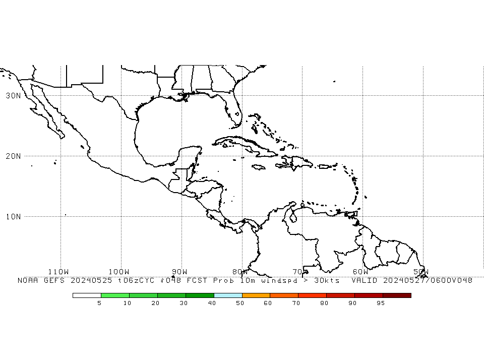
y el ensemble del GFS sigue mostrando una fuerte tormenta tropical para el lunes... increible
Re: Invest 92L (30/50) Central Atlantic
Hola soy Gustavo... De vuelta por quí con un nuevo proyecto dedicado al estudio de los huracanes. Comence a estudiar meteorologia en Pensslvania State Iniversity y estoy concentrandome ene el estudio de los huracanes, asi HWIEX quiere decir Hurricane Weather Instrument Experiment... Un saludo a todos!!!
Hablando del sistema e; Invest 92L cabe señalar que al principio causo mucha duda por la presencia del polvo del sahara, pero quizas muchos de ustedes esten deacuerdo conmigo que cuando llegue el sistema al Caribe va a tener una dura batalla con el Shear "Vientos Cortantes" veremos a ver que ocurre en los próximos dias...
Hablando del sistema e; Invest 92L cabe señalar que al principio causo mucha duda por la presencia del polvo del sahara, pero quizas muchos de ustedes esten deacuerdo conmigo que cuando llegue el sistema al Caribe va a tener una dura batalla con el Shear "Vientos Cortantes" veremos a ver que ocurre en los próximos dias...
Re: Invest 92L (30/50) Central Atlantic
Para el miercoles de la semana que viene o el jueves este sistema debe desintegrarse en una simple zona de baja presión.
Claro! Este panorama puede cambiar dado a que el Centro Nacional de Huracanes coloca este sistema mas al norte pasandolo sobre la región del Caribe lo que es de esperarse.

Claro! Este panorama puede cambiar dado a que el Centro Nacional de Huracanes coloca este sistema mas al norte pasandolo sobre la región del Caribe lo que es de esperarse.