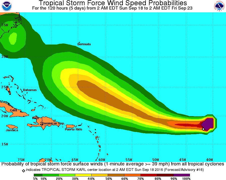
Re: Tormenta Tropical Karl (Invest 95L)
Posted: Sun Sep 18, 2016 5:58 am
ZCZC MIATCDAT2 ALL
TTAA00 KNHC DDHHMM
TROPICAL STORM KARL DISCUSSION NUMBER 16
NWS NATIONAL HURRICANE CENTER MIAMI FL AL122016
500 AM AST SUN SEP 18 2016
The structure of Karl has kept a similar appearance for some time
now with a small area of convection flaring up and down near the
center, with a larger mass of thunderstorms following the center in
the northeastern quadrant. The initial wind speed is held at 35 kt
using the last TAFB satellite estimate.
Karl's disorganized low-level structure will likely prevent much
intensification in the short term. However the environment
near the tropical cyclone is likely to become conducive for
strengthening within a couple of days due to lower shear, slightly
more moisture, and warmer sea surface temperatures. The intensity
guidance is very similar to the previous model cycle, and only
small changes were made to the previous NHC wind speed forecast.
The initial motion estimate is 255/10. A large subtropical high
over the central Atlantic should provide a fairly well-defined
steering current for the tropical storm over the next several days.
This ridge will likely turn Karl to the west later today and to the
west-northwest by early Tuesday through the end of the period.
Other than a small westward adjustment through 72 hours, the new
NHC track is similar to the previous one, near a model consensus
favoring the faster GFS/ECMWF solutions.
FORECAST POSITIONS AND MAX WINDS
INIT 18/0900Z 17.7N 42.3W 35 KT 40 MPH
12H 18/1800Z 17.7N 44.3W 35 KT 40 MPH
24H 19/0600Z 18.0N 47.0W 40 KT 45 MPH
36H 19/1800Z 18.6N 49.6W 40 KT 45 MPH
48H 20/0600Z 19.3N 52.2W 45 KT 50 MPH
72H 21/0600Z 21.5N 57.2W 55 KT 65 MPH
96H 22/0600Z 23.9N 62.1W 65 KT 75 MPH
120H 23/0600Z 26.5N 66.5W 75 KT 85 MPH
$$
Forecaster Blake


